

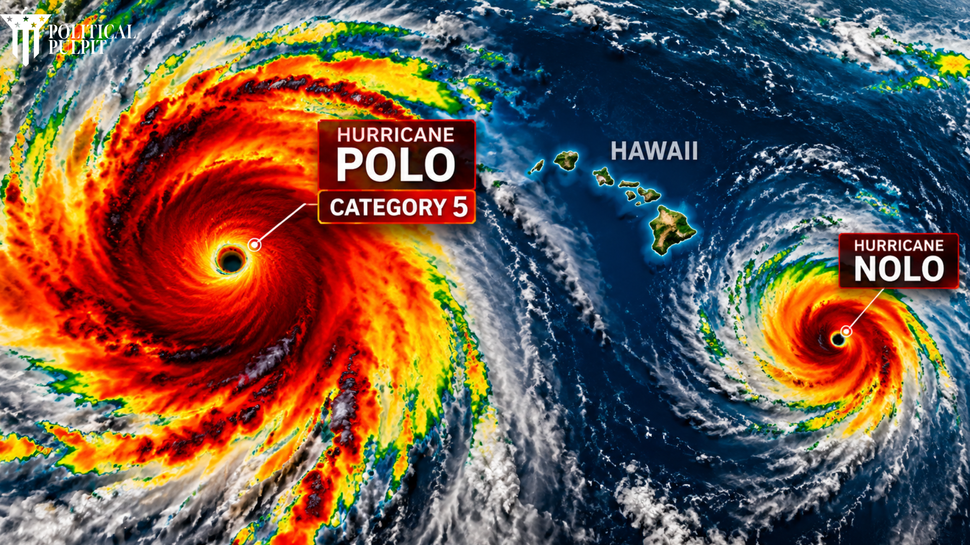
The Pacific Ocean is exceptionally active as powerful Hurricane Polo churns off Mexico while newly formed Tropical Storm Nolo strengthens south of Hawaii.
Polo underwent explosive rapid intensification Tuesday, transforming into an extremely dangerous Category 5 hurricane.
The storm reached maximum sustained winds of 180 mph Tuesday afternoon before weakening.
As of Wednesday afternoon, the National Hurricane Center reported Polo remained a powerful Category 4 hurricane with maximum sustained winds near 145 mph.
Forecasters said Polo was approximately 150 miles south southwest of Zihuatanejo, Mexico, and moving northwest.
Polo Underwent Stunning Rapid Intensification
Polo’s development has captured the attention of meteorologists.
Early Tuesday morning, the National Hurricane Center described its intensification as “truly remarkable,” reporting that Polo had strengthened by approximately 105 mph during the previous 24 hours.
By Tuesday afternoon, Hurricane Hunter aircraft found Polo had reached 180 mph winds with an extraordinarily low central pressure of 892 millibars.
Although Polo has since weakened, it remains a dangerous major hurricane.
Its outer rainbands are affecting Mexico’s southwestern coast, bringing the threat of heavy rainfall, flash flooding, mudslides and dangerous surf.
Tropical Storm Nolo Forms Near Hawaii
Meanwhile, another developing threat has emerged hundreds of miles south of Hawaii.
Tropical Storm Nolo officially formed Wednesday with maximum sustained winds near 40 mph.
The storm was approximately 310 miles south of South Point on Hawaii’s Big Island and roughly 500 miles south southeast of Honolulu.
More importantly, forecasters expect significant strengthening.
Nolo is forecast to become a hurricane Thursday and could reach major hurricane strength by the weekend.
A Hurricane Watch has now been issued for Hawaii County.
Residents should closely follow official forecasts because the storm’s exact track and intensity could still change.
An Extremely Active Pacific
Polo and Nolo are not alone.
Hurricane Odalys is also active far west southwest of Mexico’s Baja California peninsula, adding another hurricane to an unusually busy Pacific weather map.
The simultaneous systems highlight how quickly conditions can change during hurricane season.
For communities near potential storm paths, preparation before conditions deteriorate remains critical.
A Biblical Perspective
Scripture reminds us that God remains our refuge during uncertainty.
“God is our refuge and strength, a very present help in trouble.” Psalm 46:1 KJV
Storms remind us how quickly circumstances can change and how important it is to remain prepared, prayerful and willing to help those facing danger.
Where We Stand
People across Mexico and Hawaii should take these storms seriously without giving in to panic.
Follow official warnings. Prepare emergency supplies. Know evacuation routes. Check on elderly neighbors and vulnerable family members.
Forecasts change, but preparation saves lives.
We should also pray for residents, emergency personnel, meteorologists and first responders as these storms develop.
Subscribe to the Political Pulpit newsletter for more faith centered reporting and analysis.
Watch our broadcasts at Watch.OSN.tv and use promo code JOSH.
Support our mission at www.politicalpulpit.com/partner.
The time to speak is now, the time to act is now. The time to pray for protection over Hawaii, Mexico and everyone in the path of these storms is now.